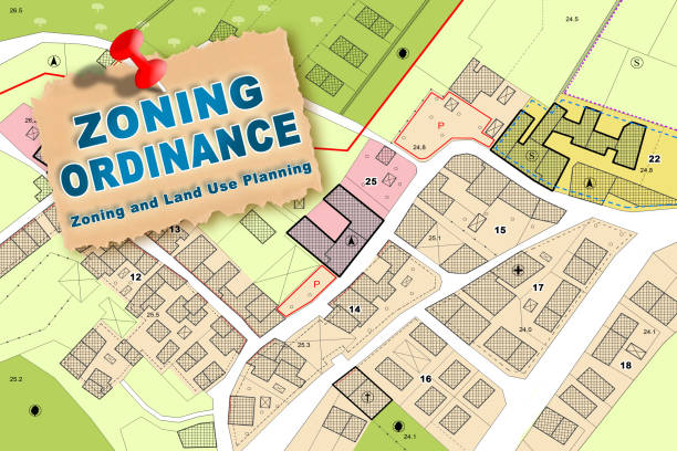
ordenanza de zonificación imaginaria, plan general de ordenación urbana con indicaciones de destinos urbanos con edificaciones, edificables, parcela de terreno y terreno inmobiliario - nota: el fondo del mapa está totalmente inventado y no representa ni
- JPG 300 DPI